|
| Amanda, Jen, Tyler, Brett and dogs Marley and Tero ready to get rad after hiking about 13 miles in two days with loaded packs. They're definitely not thinking about the seven more required to get out. |
Bridger Bowl’s opening day is close enough to put a little
twinge of excitement in the bowels of any degenerate skier. But right now we’re
in the thick of the summer, and a getting turns in requires enough
determination to hoof through a 20-mile round trip into the mountains.
Which is what we did in July, hiking out to ski the 10,400-foot
Mt. Blaze. It’s the fifth highest mountain in the Spanish Peaks, a small range
within the Madison Range just about 40 minutes or so out of Bozeman depending
on how comfortable you are bombing down the well-maintained dirt road that
traverses one of Ted Turner’s vast properties.
The
Blaze is a popular backcountry spot, and one that was suggested by John
Graves — a hardcore skier I ran into on Sacajawea in June who
had a 5-year stretch where he skied every month of the year. The only questions
were just how much snow was back there and how the hell to actually get there. It
seems like a large portion of Bozeman’s backcountry aficionados have skied it,
but none could provide any more detailed directions than, “hike about four
miles, take a right across a creek, take a left across the same creek a while later
and then you should see it,” which is roughly how John described the trek. In
his defense, the directions were tossed out while he was gearing up for some
conference or another in Puerto Rico.
The first question was answered while driving back from the Missoula
Marathon on July 14 on I-90. A long tongue of snow ran slightly left of the
peak almost to the tree line.
I figured that we’d play the second one by ear after getting
a group of four others — Amanda, Brett, Jen and Tyler (and two dogs, of course)
— together. We set out at the crack of 10 a.m. or so and reached the Spanish
Creek trailhead an hour later.
 |
| If you squint just right, you can see the silhouette of Marley (a black lab) on top of the packs |
Four-and-a-half pretty flat miles later we found ourselves
where the trail diverged. We chose to head up to Mirror Lake, half because we weren’t
really sure where to go and also it just seemed like a good place to figure out
what to do. The last couple miles up to the lake were switchbacked and steep
and took their toll on the group. When we got up there and realized how tough
it’d be to scale the Blaze from the backside, the decision was made to set up
camp and think it over.
 |
| They did not taste like boots |
Amanda and I hiked up a rise on the way up to Summit Lake
and scouted out two potential routes for a backside approach. One was up a
scree field capped with a small snowfield and then along a ridge to the top. The other followed an avalanche
path up to a northern ridge, which looked like the most do-able from our vantage
point -- except for one section that looked awful cliffy for our climbing gear-less
party. On the positive side, we found some morels hiking back to camp,
thanks to my expert analytical yell of, “Hey, aren’t these sorrels or
something?"
After some discussion, we decided to wake up at dawn and hike
down, around and up the mountain for our turns.
 |
| A fine campin' spot |
Miles into the trail we ran into a wild-eyed teleskier I met
coming down Sacajawea (popular spot!) who gave us somewhat more specific
directions on where to start bushwhacking. Basically, it was dead ahead and
marked by a cairn. Of course.
 |
| Just over the next rise! |
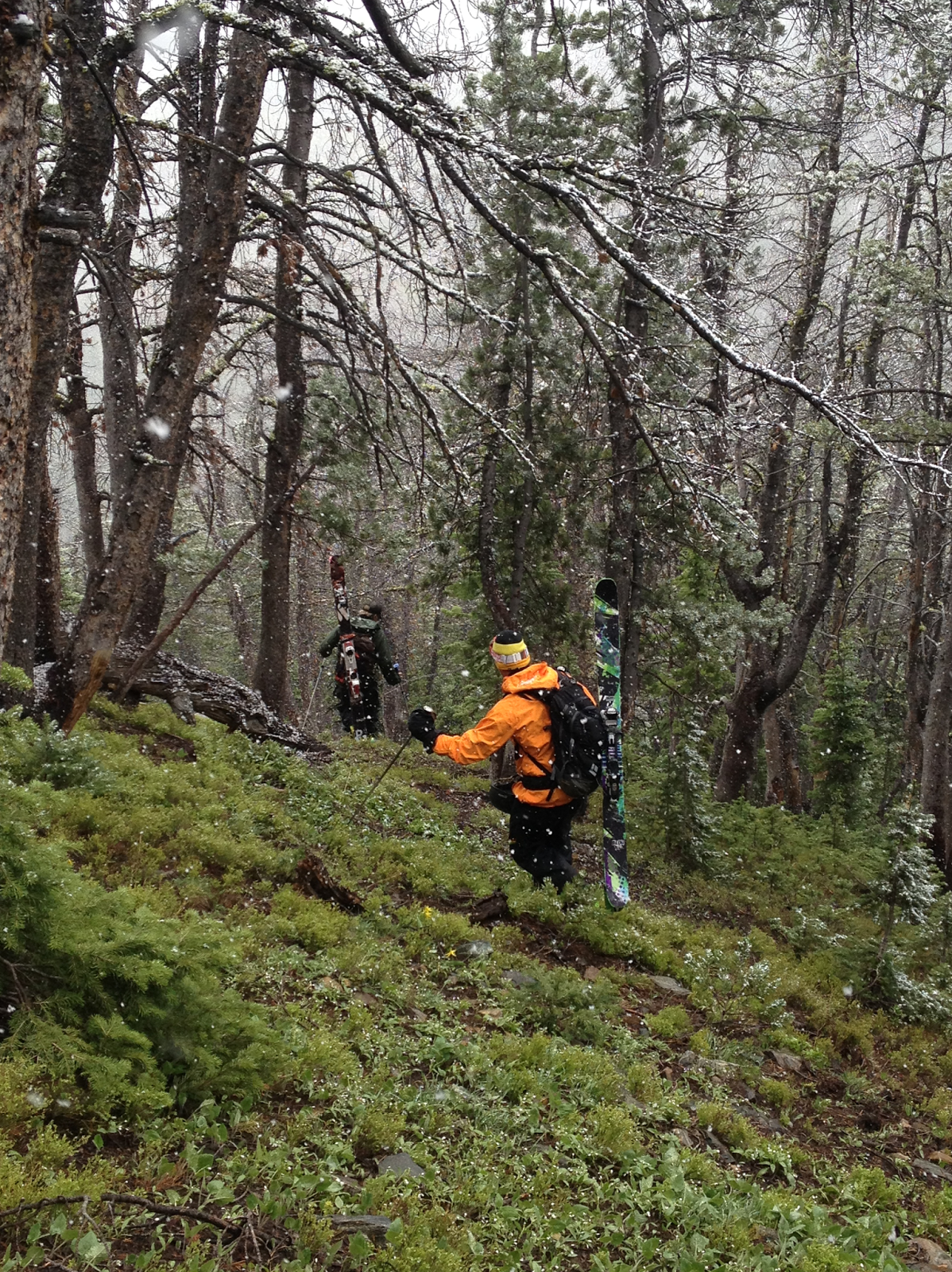
We bushwhacked our way slowly uphill because the miles were
starting to add up on everyone’s legs, except for the dogs and Brett. When we
were most of the way up a skier and snowboarder made their way down the
surprisingly wide and long track. The snow looked like prime spring corn, even
if they didn’t return our radness yell. He had a GoPro on, so he was probably
concentrating really hard on not screwing up on camera.
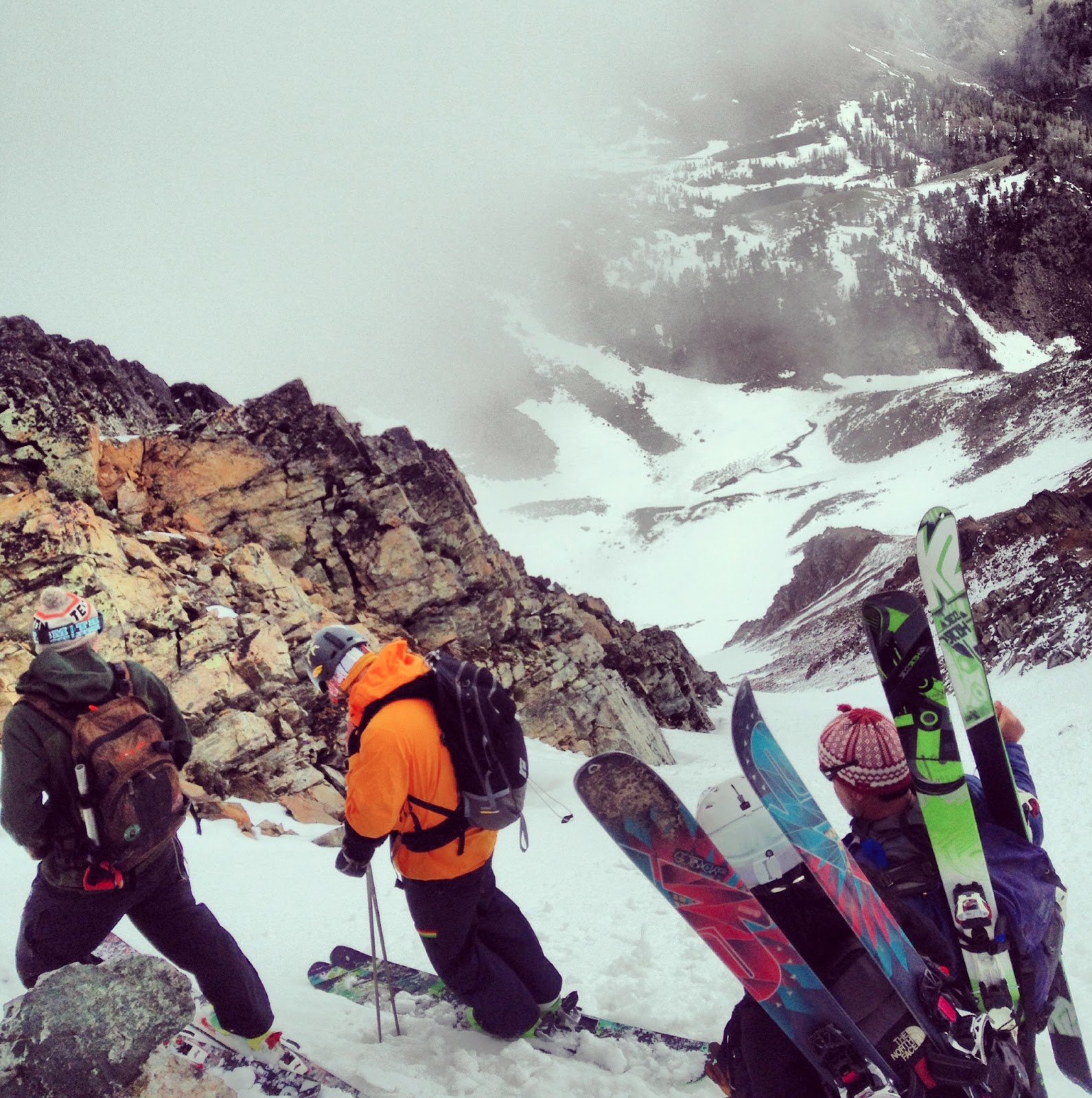
But we finally reached the peak around 2 p.m. and geared up
for the descent. The snow was a little slushy on top, streaked with dirt and pocked
infrequently with the tips of rocks. After all the requisite pictures
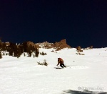
were taken, we pointed out skis and went for it. I noodled down last and the odd pain that had developed in the side
of my left knee disappeared with a few wide, easy turns done in an attempt to savor each slide as
much as could be done.
It was tempting to just rip down, but knowing we had at
least a seven mile hike out helped keep the inner hardcore ski bro safely
hidden away deep inside.
 |
| Not so bad for July! |

The hike out was a pleasant suffer-fest as the knee pain
returned and migrated into the hip. Even the dogs were worn out by the time we reached the car. It took
Marley a minute of coaxing to jump into the truck bed for the ride home.
But hey, it was turns in July. Can’t wait to make some more
in August down in the Beartooths. We’re planning on hitting up the Whitetail Couloir.
-- Jason Bacaj